October 23,24 2008 Flight up the Red River valley from Jackson, MS to Monroe LA to Witchita Falls, Texas,
Tucumcara NM, Colorado Springs CO
And return October 25,26 down the Arkansas River from Colorado Springs, CO along a route through Dodge City
Kansas, Fort Smith AR, Little Rock, Greenville, MS
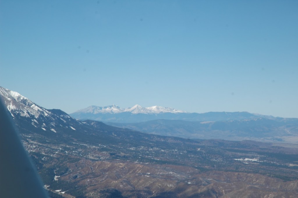
Figure 14 Photo from 13,500’ 104 deg. 30 min. longitude 37 deg. 10’ min. latitude. The mountains in
The center of the photo are called the Spanish Peaks.
10/24/2008 photo 21
Figure 15 Descending from 13,500’ coming into Pueblo, CO and Colorado Springs CO. Airspace to
The west of the route is the La Veta High military operations areas used by the Air Force Academy to
Train cadets. 10/24/2008 Photo 24
Figure 16 photo taken 10/25/2008 from 9500’ near Holly KS (38 deg. Latitude 102 deg. Longitude) flying a
return route from Colorado Springs CO to Fort Smith AR. I followed the Arkansas River to
Dodge City KS and then down To Tulsa OK and Fort Smith AR. Photo 27
Figure 17 Garden City Kansas along the Arkansas River 10/25/2008 from 9500’ photo 28
Figure 18 Coming in to land and refuel at Dodge City, KS, photo taken 10/25/2008 from 5500’ Photo 30
Figure 19 Tulsa OK from 5500’ 10/25/2008 photo 31
Figure 20 Fort Smith ARK from 3500’ 10/16/2008 photo 32
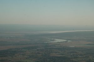
Figure 21 Arkansas River from 10,500’. Photo 10/26/2008 taken along route of flight from Fort Smith AR
To Little Rock, ARK. Photo 34
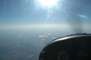
Figure 22 LIGHT ON THE PATH 1
Photo taken 10/26/2008 at 10,500’ latitude 35 deg. 10 min. longitude 93 deg. 20 min. from Cessna 182 8189G
while flying South Easterly from Little Rock AR toward Greenville, MS photo 35
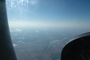
Figure 24 LIGHT ON THE PATH 2
Photo taken at 10/26/2008 9,500’ from Cessna 182 8189G latitude 34 deg. 50 min. longitude 92 deg.
while flying South Easterly from Little Rock AR toward Greenville, MS photo 36
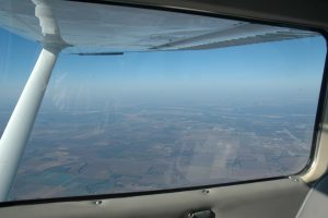
Figure 25 LIGHT ON THE PATH 3
Photo taken 10/26/2008 at 9,500’ from Cessna 182 8189G latitude 33 deg. 50 min. longitude 91 deg 20 min..
while flying South Easterly from Little Rock AR toward Greenville, MS photo 37
